Dreaming about a few quiet acres outside Deer Lodge where you can build, raise a few animals, or simply breathe? Buying rural land in Powell County is rewarding, but it comes with details you do not want to miss. With the right due diligence, you can protect your investment and move forward with clarity. This guide walks you through what to check in Deer Lodge, who to call, and how to line up inspections and permits so you close with confidence. Let’s dive in.
Start smart: Deer Lodge land basics
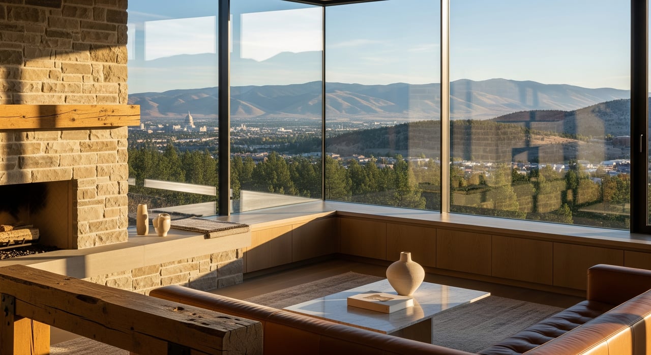
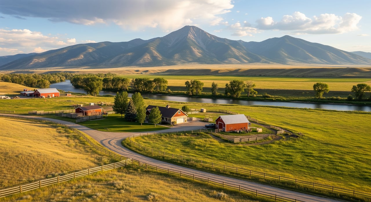
Rural parcels around Deer Lodge range from small farms and hobby ranches to timbered foothills and recreational tracts. Winters bring snow, so year-round access, road maintenance, and driveway design matter. Forested properties may carry higher wildfire risk. Most acreage relies on private wells and septic systems rather than municipal services.
Common land uses influence what you can do and how you maintain the property. Agricultural and ranch parcels may have fencing expectations and livestock water needs. Recreational tracts near public lands can be great for access, but you should understand hunting rules and any public use near your boundaries. Some properties also carry conservation easements or deed restrictions that limit building or subdivision.
Confirm boundaries and title
Order a current survey
Do not rely on fences to define your land. In rural Montana, fence lines and deed lines often differ. Ask the seller for any recorded surveys and check with the Powell County Clerk & Recorder for Certificate of Survey maps or monuments of record. If there is no recent survey, commission a licensed surveyor to confirm corners, acreage, and encroachments before you waive contingencies.
Read the title commitment carefully
Request a title commitment early and review all exceptions. Pay close attention to:
- Mineral reservations or severed mineral rights
- Recorded easements for access, utilities, or pipelines and power lines
- Conservation easements, covenants, or deed restrictions
- Road agreements that define maintenance duties and cost sharing
Verify that you have direct, deeded access to a public road or a properly recorded private easement. If access is not recorded, that is a significant risk to financing, insurability, and resale.
Understand taxes and ag classification
Check with the Powell County Assessor for assessed value, tax classification, and any special assessments. If the parcel carries agricultural classification, confirm what activities are required to maintain it. Ask about irrigation district dues, road district levies, or conservation district charges that may apply.
Know the rules before you build
Zoning and setbacks
Powell County Planning and Zoning can confirm what uses are allowed and what setbacks apply to your parcel. Minimum lot sizes can vary based on zoning and septic requirements. If you plan a residence, shop, or accessory structures, verify height limits, setbacks from property lines, and any riparian or hillside standards that could affect your site plan.
Subdivision triggers
If you are buying with an eye to split the land later, talk with county planning first. Montana subdivision rules and local ordinances set standards for roads, utilities, and minimum lot sizes. What counts as a minor or major subdivision affects review time and cost. Early clarity helps you avoid costly surprises.
Road and driveway permits
Building a new driveway to a county road or a state highway may require a permit. Confirm requirements with Powell County Public Works or the Montana Department of Transportation. You may need a culvert sized to handle spring runoff and meet sight-distance standards for safety.
Water, septic, and utilities
Wells, springs, and water rights
Most acreage near Deer Lodge uses private wells or springs. Montana follows prior-appropriation water law, and many basins have recorded groundwater and surface water rights. Protect yourself by:
- Searching the Montana DNRC water-rights database for any rights tied to the parcel
- Obtaining well logs and permits for existing wells
- Testing water quality for coliform bacteria, E. coli, nitrates, arsenic, and other relevant contaminants through a certified lab
- Evaluating well yield and reliability, and reviewing any pump test results
- Confirming any irrigation ditch shares or association fees tied to the property
If no well exists, consult with a licensed driller about siting, depth, and cost, and confirm permitting steps with DNRC.
Septic and soil suitability
Most rural parcels use individual sewage disposal systems. Contact the Powell County sanitarian to request records for existing systems, verify permits, and learn local design standards. For new systems, you will likely need a percolation test or soil evaluation. A qualified septic inspector should assess any existing tank and drain field for function and remaining life.
Power, propane, and broadband
Confirm where the nearest electrical line and transformer are located, and whether you will need to extend service. Natural gas is uncommon in rural areas, so plan for propane delivery if needed. For internet, options may include fixed wireless, limited fiber, DSL in certain pockets, or satellite. Check availability, upload speeds, and latency if you need remote work capability.
Access and road reality
Legal vs practical access
Legal access means a recorded right to travel across land to a public road. Practical access means you can actually get there with a vehicle year-round. You need both. Verify recorded access in the title report and confirm the road’s condition on site during different seasons.
Winter maintenance
Ask Powell County whether a county road is maintained year-round and if snow removal is standard on your route. If your access is private, review the road maintenance agreement for snow plowing, grading, and cost sharing. If no agreement exists, consider establishing one with neighbors.
Shared road agreements
Private easements often come with maintenance obligations. Read those terms closely and budget for annual costs. Clarify who handles culvert replacement and washout repairs after spring runoff.
Environmental and physical risks
Soils, slope, and erosion
USDA NRCS soil surveys can help you assess septic suitability, foundation conditions, and erosion potential. Steeper slopes often increase building costs and may need specialized design. On hillside sites, you may need a geotechnical opinion before finalizing house placement.
Floodplain and riparian areas
Use FEMA flood maps to check whether the parcel lies in a Special Flood Hazard Area. Even outside mapped zones, local drainages can flood during spring melt. Ask about creek or river setbacks and any state or county riparian rules that affect where you can build or grade.
Wildfire readiness
Forested foothills around Deer Lodge carry wildfire risk. Review available wildfire hazard maps and walk the property for defensible space, road width for fire apparatus, and water sources for suppression such as ponds or cisterns. Confirm which fire district serves the property and what response times look like.
Historic uses and contamination
Rural properties sometimes include old homesteads, fuel tanks, or areas where equipment and chemicals were stored. If you see stained soils, debris, or old shop sites, consider an environmental site assessment. For larger or suspect tracts, check Montana DEQ records for any listed or cleanup sites.
Wildlife and habitat
Proximity to public lands is a major amenity, but it can draw seasonal visitors and hunters near your boundary. Consult Montana Fish, Wildlife & Parks for information on sensitive species or habitat considerations that might affect projects like road building or pond work.
Inspections, permits, and timeline
Core inspections to schedule
- Boundary survey to confirm corners and resolve fence-line questions
- Title search and commitment review for easements, restrictions, and mineral rights
- Well inspection including well log, pump test, and certified water-quality lab tests
- Septic inspection and, for new systems, percolation or soils testing
- NRCS soil review and, if needed, geotechnical evaluation for steep sites
- Structural inspection for existing homes, shops, or barns
- Wildfire risk assessment for forested properties
- Environmental site assessment if historic industrial or fuel use is possible
Permits you may need
- Building permits from Powell County for residences and outbuildings
- Septic permits from the county sanitarian
- Well construction permits and driller registration through the Montana DNRC
- Driveway and culvert permits from Powell County or MDT for public road access
- Subdivision approvals for any future land splits
- Grading or stormwater permits if you plan significant earthwork
Financing and insurance checkpoints
Lenders often require appraisers who understand rural acreage and its unique features. Some loan programs, including USDA Rural Development options, have acreage and eligibility guidelines. Title insurance should address mineral reservations. Home and liability insurance are generally available, but wildfire exposure and remote access can affect premiums. If any structure sits in a mapped flood zone, lenders will require flood insurance through NFIP.
A practical checklist you can use
- Request seller documents: deed, prior survey, septic permits, well logs, tax bills, utility bills, road agreements, and any HOA or conservation easement documents.
- Order a title commitment and review all exceptions, especially mineral rights and access.
- Commission or obtain a current boundary survey to confirm acreage and corners.
- Search DNRC for water rights and well records. Schedule water-quality testing and a sustained-yield pump test if needed.
- Arrange a septic inspection or soils and perc testing for future systems. Confirm county design standards.
- Verify access. Confirm a recorded easement or public road frontage and review maintenance obligations.
- Pull NRCS soil maps and consider a soils or geotechnical review for steep or variable terrain.
- Check FEMA flood maps and ask about local flood history from neighbors or county staff.
- Assess wildfire risk. Confirm fire district coverage, driveway width, turnarounds, and water availability for suppression.
- If there are signs of historic industrial or fuel use, order a Phase I environmental site assessment.
- Confirm allowed uses with Powell County Planning and Zoning, including setbacks and any overlays.
- Map out permits and timelines for building, septic, well construction, and access permits.
- Discuss financing with lenders familiar with acreage and confirm insurance availability and cost.
Buying acreage in Deer Lodge rewards careful preparation. When you confirm boundaries, access, water and septic, and the rules that shape development, you protect your budget and your timeline. If you want a local partner who understands western Montana land from the soil up, reach out to Blayne Larson to walk the property, line up the right checks, and plan your next steps.
FAQs
How do I verify year-round water reliability on Deer Lodge acreage?
- Obtain the well log and any pump test results, schedule a sustained-yield test with a qualified contractor, and review DNRC groundwater data for the area.
What should I know about mineral rights when buying land in Powell County?
- In Montana, mineral rights can be severed from surface rights. Review the title commitment for reservations and consult your title officer about potential surface-use impacts.
Can I subdivide my Deer Lodge property later on?
- Possibly, but county subdivision rules, minimum lot sizes, access standards, roads, and septic suitability can limit options. Speak with Powell County Planning early.
What permits are needed for a new driveway or approach in Powell County?
- Driveways onto county roads or state highways generally require an approach permit. Confirm specifications and culvert needs with Powell County Public Works or MDT.
How do I check wildfire risk for a forested parcel near Deer Lodge?
- Review available hazard maps from state or county sources, confirm the serving fire district, and evaluate defensible space, driveway width, turnarounds, and water for suppression.
What if the land I want has no recorded access to a public road?
- Lack of recorded access is a major risk to financing and resale. Secure a recorded easement or verify a legally defensible prescriptive right before moving forward.