What if your morning walk, bike commute, or after‑work run started right from your front door? In Missoula, that is a daily reality for many neighborhoods lined up along rivers, creeks, and the hills that frame town. If you want easy trail access, you are choosing a lifestyle as much as a house.
In this guide, you will learn where trails meet neighborhoods, what “easy access” really means, and how to evaluate a property if time on dirt or pavement matters to you. You will also find a practical checklist and links to official maps and resources. Let’s dive in.
How trails shape daily life
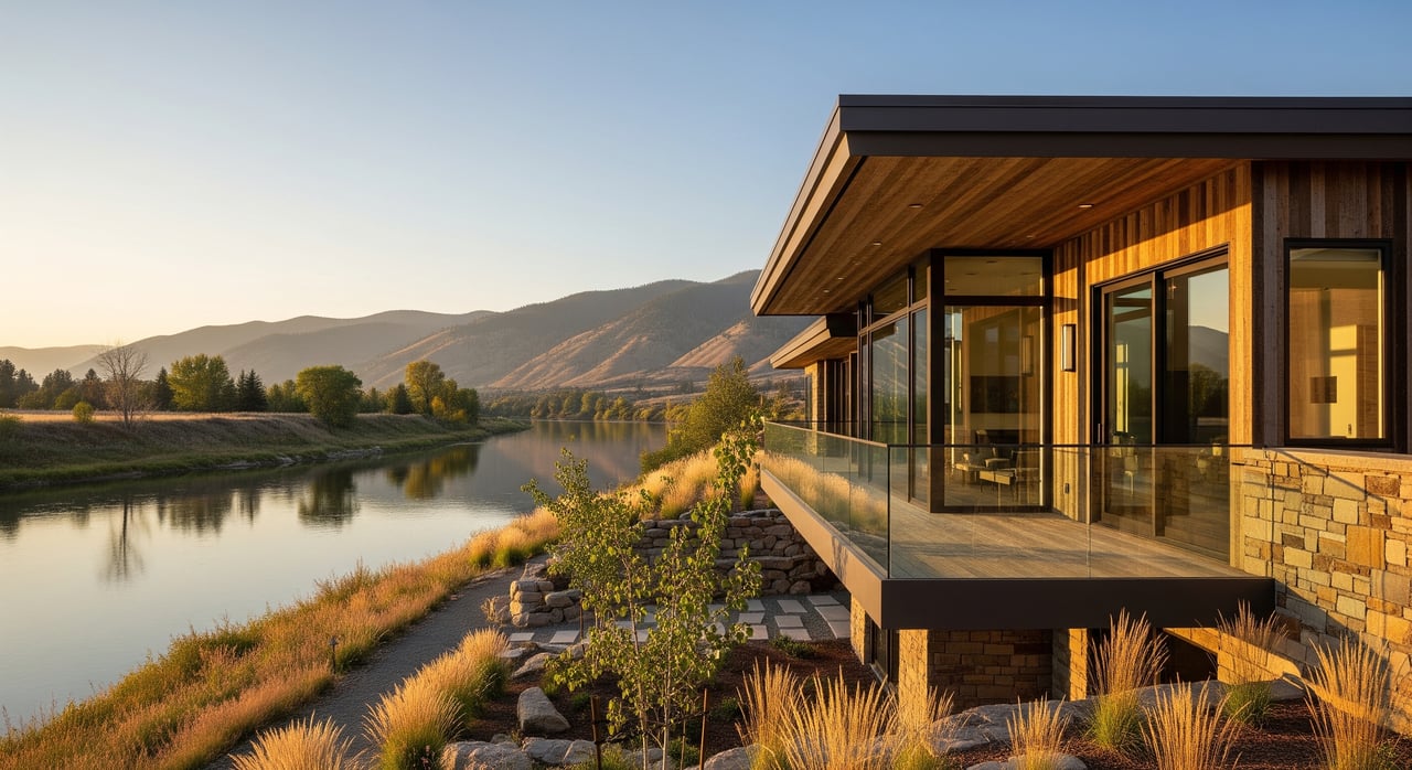
Missoula’s trail network follows natural corridors like the Clark Fork River, Rattlesnake Creek, and the South Hills ridgelines. That creates linear access that ties together downtown, residential areas, the university, and open space. You can move on paved river paths, hike steep singletrack, or slip into forested canyons without leaving town.
These routes are built and maintained by a mix of city and county parks, state and federal agencies, and local volunteers. Access points and connections evolve with new trail projects, easements, and maintenance. For the freshest maps, check the City’s official pages through City of Missoula Parks & Recreation.
What “easy access” looks like
- Direct: Your lot backs public open space or a trail easement, or you can step onto a connector from your street.
- Near: You can walk or bike 10 to 20 minutes to a maintained trailhead or paved path.
- Drive‑to: You are a short drive from a primary trail system with parking.
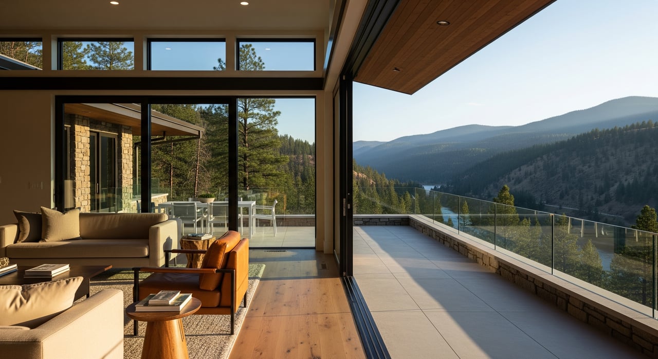
Each option supports a different routine. River paths suit casual walks and family rides. Steep hillside trailheads suit hiking, running, and mountain biking. Forested canyons offer longer, quieter outings.
Neighborhood snapshots
Downtown, Riverside, and Riverfront
- Trail assets: The Kim Williams Trail and riverfront greenways form a paved spine for walking, running, and bike commuting. You also get easy access to parks and river put‑ins.
- Access feel: Highly walkable to the river. The path connects west and east across town, so you can reach many destinations without a car.
- Buyer notes: Expect lively activity, event days, and some properties near flood zones. Confirm floodplain status and insurance using the FEMA Map Service Center.
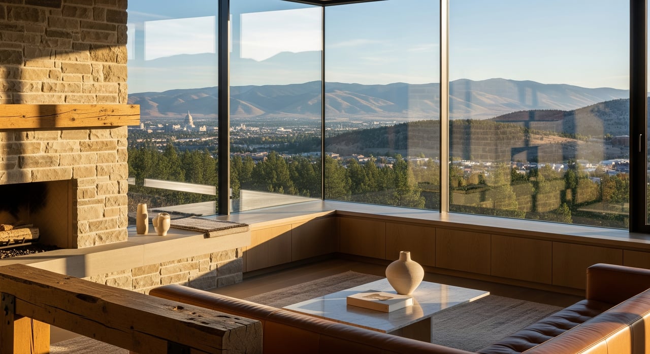
University District, Mount Sentinel, and Northside
- Trail assets: The “M” Trail and Mount Sentinel singletrack offer quick, steep hikes and runs. You can also reach the river paths on foot.
- Access feel: Iconic after‑class or after‑work laps. Terrain is steep, so long flat outings are better on the river trail.
- Buyer notes: Heavy foot and bike traffic during the school year. Properties on slopes may trade easy access for views and grade.
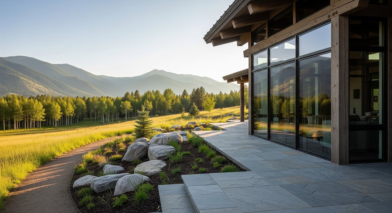
South Hills, Mount Jumbo, and Fort Missoula area
- Trail assets: Extensive South Hills singletrack, Mount Jumbo routes, and flatter multi‑use paths at Fort Missoula Regional Park.
- Access feel: Many blocks connect to dirt within minutes. The mix supports hiking, trail running, dog walking, and mountain biking.
- Buyer notes: Check private property boundaries and local wildfire risk on exposed hillsides. Expect strong “outdoorsy” neighborhood vibes.
Rattlesnake Valley and Creek neighborhoods
- Trail assets: The Rattlesnake National Recreation Area begins just north of town, with creekside access and spur trails into public forest.
- Access feel: Longer, forested outings very close to residential streets. Some winter seasons include groomed routes where available.
- Buyer notes: Trailheads get popular on weekends and parking can be tight. The canyon feels more rural with fewer nearby services. Confirm floodplain areas along the creek and plan for winter road conditions.
- Learn more: See the broader public‑lands context from the U.S. Forest Service, Lolo National Forest.
Blue Mountain, Tower Street, and East Missoula
- Trail assets: Blue Mountain Recreation Area offers varied singletrack, short climbs, and scenic overlooks, with connections from nearby neighborhoods.
- Access feel: A favorite for mountain bikers and hikers seeking ridge views. Some trailheads sit on narrow roads.
- Buyer notes: Expect trailhead parking considerations and winter snow clearance needs on steeper approaches.
Grant Creek and Westside neighborhoods
- Trail assets: Grant Creek drainage trails and west‑side access points to ridge singletrack, plus suburban parks and connectors to the river system.
- Access feel: Family‑friendly loops and easy trail runs, with a mix of near‑home connectors and short drives to bigger networks.
- Buyer notes: Larger lots and easier parking are common. Consider commute time to downtown along with trail proximity.
Buyer checklist for trail‑first shoppers
Use these questions to evaluate any listing. Copy and bring them to showings.
- How far (walking time and distance) is the nearest maintained trailhead or multi‑use path from the property?
- Does the property border public land, an easement, or private land? Are there recorded trail easements or access agreements?
- Are there any planned trail projects, closures, or maintenance activities affecting local access? (City or County planning)
- Is the property in a floodplain or an identified wildfire risk area? Are there mitigation or insurance implications?
- What is typical parking at nearby trailheads? Is neighborhood spillover common?
- What recreational uses are allowed on nearby trails? Are dogs allowed off‑leash?
- Are there HOA or neighborhood covenants that affect access to, or development of, trail corridors?
- How busy are trails during peak times? Are there noise or privacy trade‑offs?
- Winter access considerations: are trails maintained or groomed, and are roads to trailheads plowed?
Safety and seasonal notes
- Wildlife: Deer, elk, and bears move along creek and ridge corridors. Review recreation guidance and local updates from Montana Fish, Wildlife & Parks.
- Flooding: River and creek neighborhoods can see seasonal high water. Verify status and insurance needs via the FEMA Map Service Center.
- Wildfire: Homes near open hillsides should be evaluated for defensible space and Firewise practices. City and county notices will outline seasonal restrictions and best practices.
- Stewardship: Trails stay pleasant with good maintenance and volunteer support. City and county advisories through City of Missoula Parks & Recreation post updates on projects and closures.
Commuting and everyday routines
Where the river path is close, you can often commute by bike year‑round with the right gear. Hillside neighborhoods lean more toward hiking, running, and mountain biking. Some residents use a hybrid routine, like riding to a bus stop or driving a few minutes to a trailhead with parking. Families with strollers may prefer riverfront paths over steep singletrack.
How to choose your spot
Start with your daily life. Do you want a paved path for easy miles and errands, or a steep climb you can squeeze in before dinner? Focus your search on the corridors that match your routine. Then verify property‑level details using official maps and site visits, and weigh trade‑offs like parking, winter access, and fire or flood considerations.
If you want a local guide who understands both the landscape and the market, reach out. As a fifth‑generation Montanan, I pair on‑the‑ground knowledge with careful due diligence to help you find the right fit. Ready to talk trails and homes? Connect with Blayne Larson to schedule a free consultation.
FAQs
Which Missoula neighborhoods have the easiest trail access?
- Downtown and Riverfront for paved paths, the University area for Mount Sentinel, South Hills and Mount Jumbo for singletrack, and Rattlesnake Valley for forested canyon trails.
What is the difference between river paths and singletrack in Missoula?
- River paths are paved or hard‑packed and great for commuting and family rides, while singletrack on nearby hills and ridges suits hiking, trail running, and mountain biking.
How do I check if a property is in a floodplain near the Clark Fork or Rattlesnake Creek?
- Use the FEMA Map Service Center to review flood maps and discuss insurance needs with your agent and insurer.
Where can I find official Missoula trail maps and closures?
- Refer to City of Missoula Parks & Recreation for maps, advisories, and project updates.
Are Rattlesnake area trails suitable for winter outings?
- Many routes remain popular in winter and some seasons include groomed options; check current conditions through agency updates from the U.S. Forest Service, Lolo National Forest.